Douglas W. Jones flood of 2008 photos
by
Douglas W. Jones
|
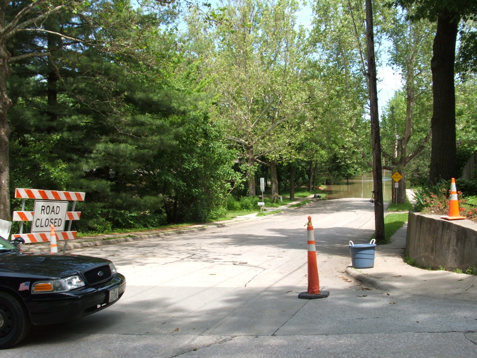
Normandy drive, Iowa City, seen from Park Road at about noon, Friday June 13, 2008. The road is closed and a patrol car is stationed there to keep residents from attempting to reenter their homes after the mandatory evacuation.

On June 15, after the county was declared a Federal disaster area, around noon, the coast guard set up on Normandy Drive. They used my neighbor's driveway as a dock for one of their boats. That's my garage in the left.
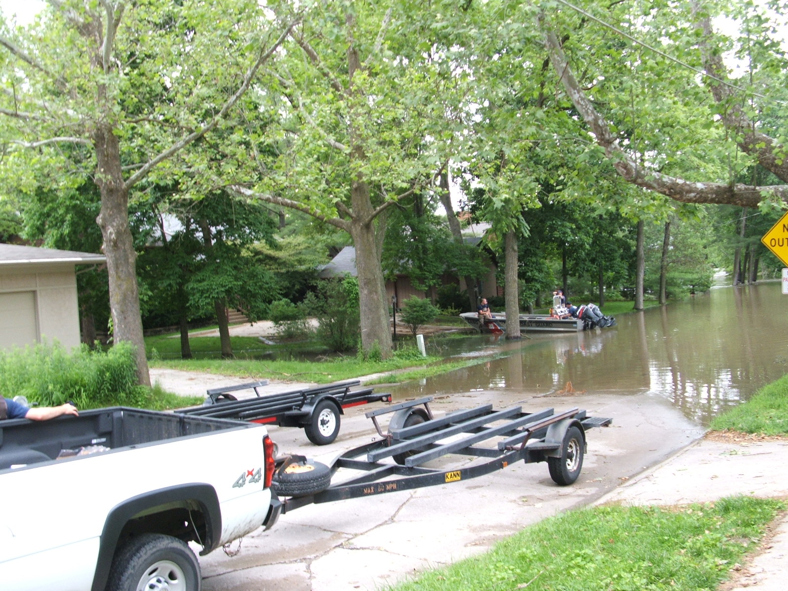
By 2012, my neighbor's house (the brown one in the center of the photo with the boat in the driveway) had been bought out and demolished by Iowa City, along with 6 more neighbors to the north. The buyouts were paid for by FEMA and HUD, and as of 2013, the land is being developed (slowly) as riverfront parkland.
The crest of the flood appears to have come at this point. A slight change in perspective from above shows my driveway, more clearly, withy a narrow channel of floodwater flowing down the lot line between my house and my neighbor's. You can see that the house appears to be safe. The peopole in the picture are, I guess, Coast Guardsmen.

The new art building at the University did not fare as well. The building is set in a stunning location, low in a hollow behind the levee that was redesigned to withstand a repeat of the flood of 1993, a near perfect example of what FEMA has designated to be our 100 year flood. This flood made that levee and the sandbag wall built on top of it effectively irrelevant.
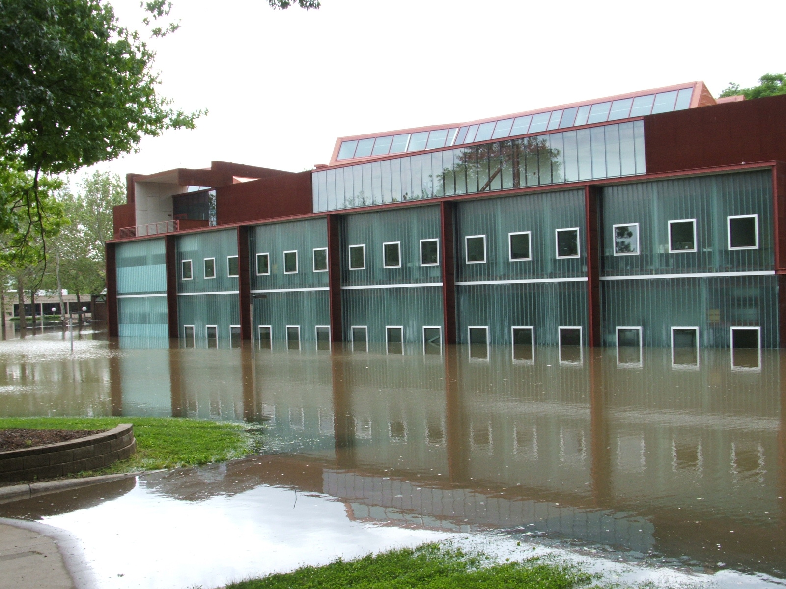
Art Building West, as it is officially known, was finally reopened in December 2011.
On the afternoon of June 19, President George Bush put in an appearance, along with Senator Harkin, Congressman Loebsack, and many others. The motorcade rumbled past our temporary lodgings on Lee Street and came to a halt at Normandy Drive as the president drove (and most of the entourage walked) to the water's edge. Of course, I ran home to gawk -- As a resident, I was checked through security, wanded, and allowed to enter my property. I got there just as the press entourage was leaving.
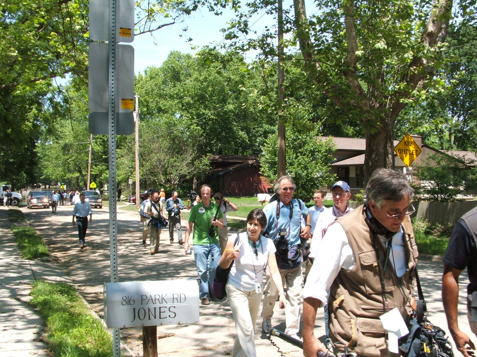
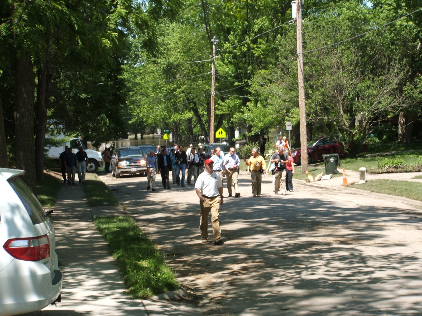
I've since identified one of the people in the above photo: Sheryl Gay Stollberg, a reporter for the New York Times, is in the center of the photo, looking at my mailbox. Moments after I took this photo, she stopped to chat, and our comments made it into her June 20 story on the event. See For Bush, a New Town, a New Disaster, but Always the Memory of New Orleans.
By 2012, both of the houses visible in the near background of this photo had been bought out and demolished by Iowa City, using FEMA and HUD money. Those lots have become public parkland.
Here's a view of the presidential entourage, minus press, still down at the head of navigation on Normandy Drive. It's notable that the water level is still higher than it was at any time during the Flood of 1993, although it's getting close to that level.
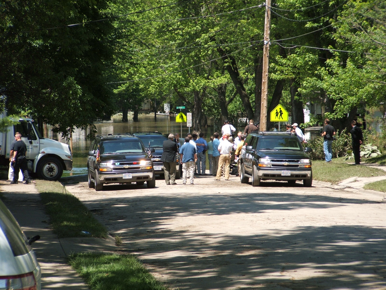
After most of the press had retreated, the congressional delegation was next. You can clearly see Congressman Loebsack in this photo, speaking with a reporter.
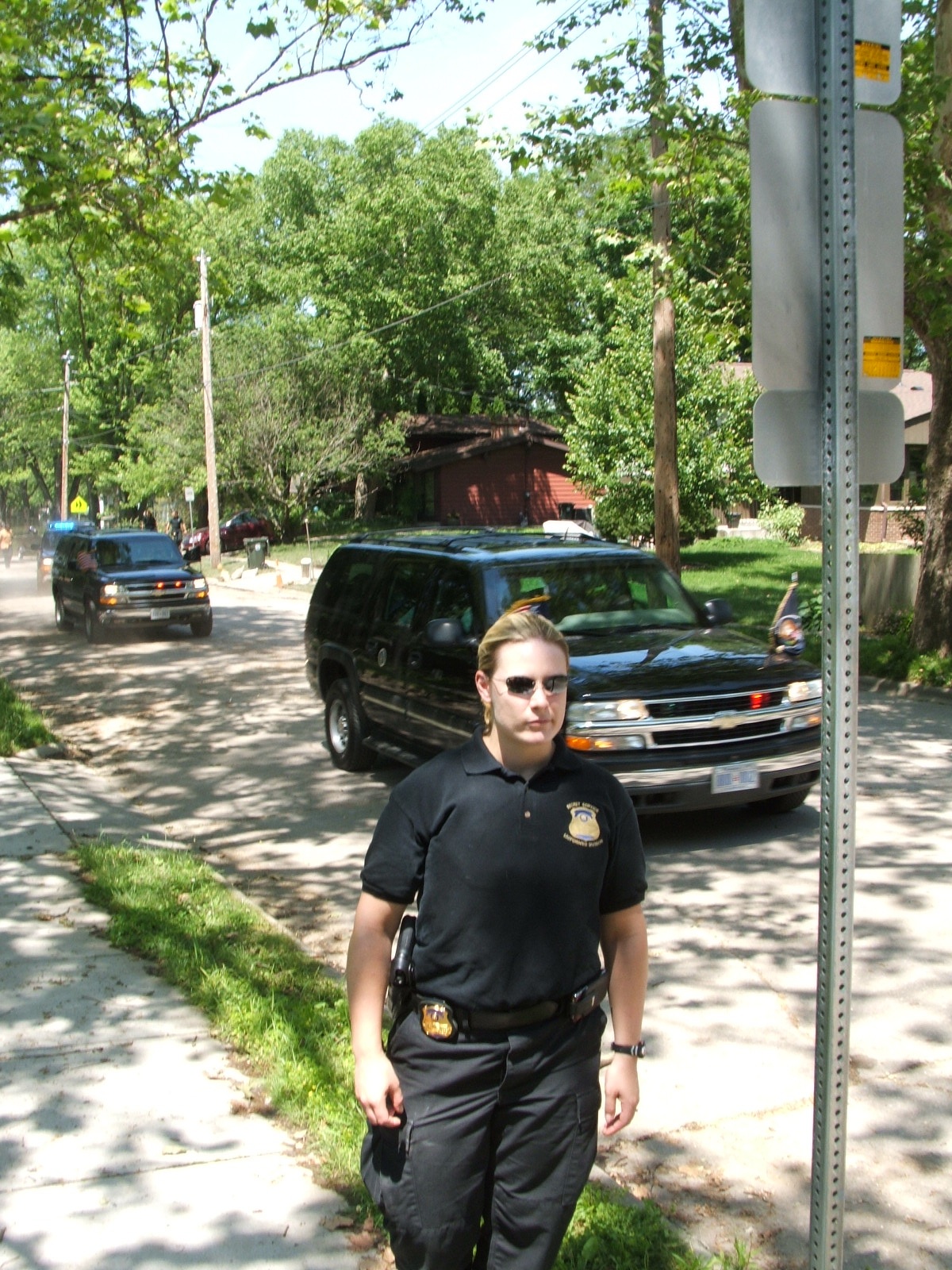
Finally, the president got into his van and the motorcade left. He was in the second van, followed by an SUV with a big machine gun in back. The secret service agent in this photo was very nice; while the president was there, she was all business, but after the cars had left, she commented on how overwhelming the flood was. She'd never seen anything like it before. For those who know the geography of Manville Heights, it's noteworthy that the motorcade left via Lexington Street. President George Bush "did the dips" on Lexington.
I've put together a document describing some of the alternatives facing the Mosquito Flats neighborhood after the flood. This was submitted to the Iowa City City Council on July 3, 2008. I put together a second document refining the ideas in the first document on July 14, 2008.
Of course, the city did not adopt any of my ideas. I'm not surprised, they were expensive ideas. Instead, they focused on buyouts, simply buying and demolishing homes in the flood zone, eventually taking out over 80 of the 140 or so homes in Parkview Terrace (more usually known as Mosquito Flats). Most of the demolition was finished in 2011, and that fall, the first landscaping work on the new parkland began. As houses come on the market and money becomes available, other houses may be destroyed. In the fall of 2013, for example, demolition began on another house.